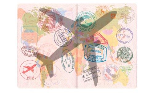
Each student is given a personalized “passport,” and they visit different stations, each representing a country. At these stations, they complete fun and educational challenges such as matching flags, learning basic phrases from the country’s language, identifying famous landmarks, or participating in cultural crafts and games. Upon completing each activity, students receive a stamp in their passport, representing the countries they’ve “visited.”
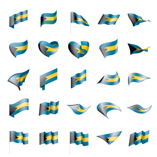
After learning how colors, shapes, and patterns represent various ideals, histories, and geographic features, students are tasked with designing their own flags. These flags could symbolize their town, community, family, or even their personal values. Through this activity, students not only explore the artistic and symbolic aspects of flags but also gain insight into how geography and culture influence flag design.
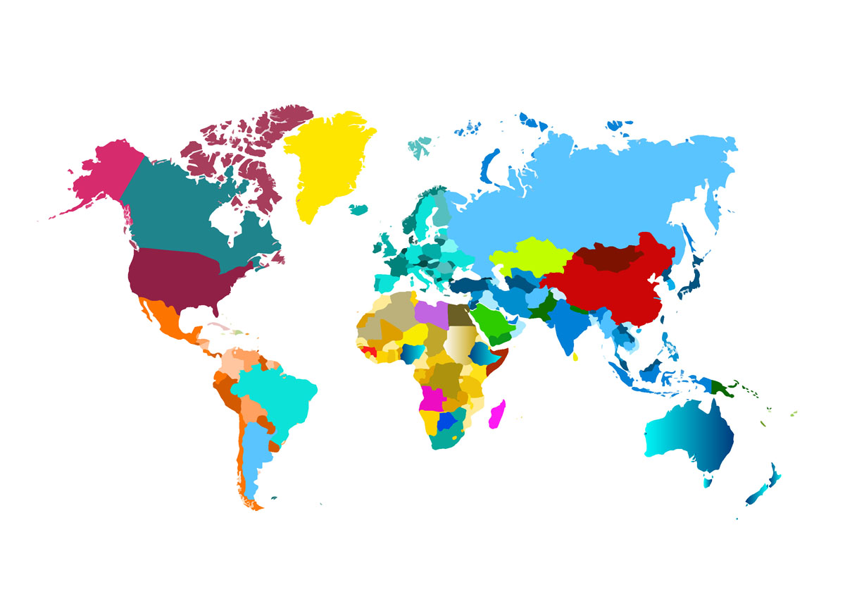
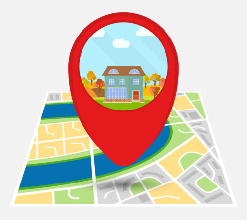
Students are shown images or videos of various global locations—ranging from city streets to remote landscapes—and must analyze details like road signs, languages, vegetation, or architecture to determine where the location is. Working individually or in teams, students use maps or tools like Google Earth to make their guesses.
- The Topographic Map Art project allows students to create 3D representations of landscapes by layering materials to form mountains, valleys, and other geographic features, helping them visualize how elevation is depicted on maps.
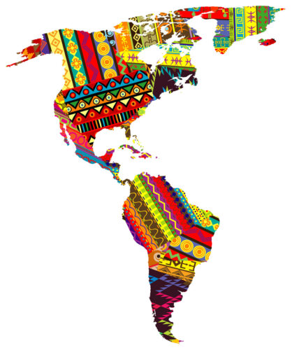
- In the Cultural Collage Maps activity, students explore the identity of a country or region by making collages that incorporate images, colors, and symbols representing the area’s culture, such as traditional clothing, famous landmarks, or food.
- Through Weather and Climate Art, students draw or paint different climate zones—like deserts, rainforests, or polar regions—highlighting how geography affects weather patterns.
- In the Globe Painting project, students design and decorate their own small globes, labeling continents, oceans, and major geographic features.
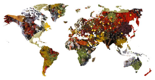
Students learn how geographic factors shape regional diets, explore food origins, and create maps that link global regions with their traditional cuisines. They try foods from various regions, further enhancing their experience.
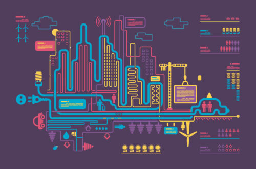
Students use games like SimCity or Cities: Skylines to design and build their own cities, incorporating natural geographic features such as rivers, mountains, and forests. As they construct their cities, they are encouraged to integrate sustainable practices, including renewable energy sources, public transportation systems, and green spaces, while considering how geography affects urban development.
From time to time, students will be able to test their acquired knowledge of geography via a competition format. These will be organized both by A.R.T. as well as IAC, a well-established quizbowl association.